From Jug End road the trail climbs steadily for a little bit then it gets steeper with a few switchbacks thrown in. Blazes along this section were a little hard to see as the light faded but we made it up to the first lookout before we needed our headlamps. The trail then walks along the ridge with little elevation change. It drops down slightly to the intersection with the Elbow Trail and climbs back up to the Glen Brook and Hemlocks camping areas. We stayed at Glen Brook and it looks like there was quite a wind storm there not long ago as there were many trees down. We set up camp and ate a quick dinner before I climbed in my Warbonnet Blackbird hammock for a comfortable night sleep. Temps were mild at about 53*.


After a quick breakfast of oatmeal and trail coffee we climbed up Mt Everett. Its an easy to moderate climb up to the summit with some nice views along the way. The summit is 2602ft with a sign marking where a fire tower once stood.


Going down the south side was tricky as it is pretty steep with leaf covered rocks. The rocks were wet as well and our pace slowed considerably as we had to be careful with every step down. The trail then winds through a short valley and climbs back up Mt. Race to 2372ft. There are some nice views looking north and west just before the actual summit. Then the trail heads to the east before turning south to walk along the ridge with views looking east into the valley above Salisbury. We ate a short trail lunch on Mt Race and were back hiking after about 15 minutes
 |
| Looking back to Mt. Everett |


.JPG)

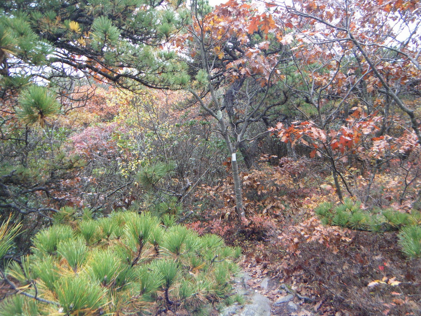
The trail continues down eventually bottoming out in Sages Ravine and crossing from MA into CT. Then climbing up about 600 or so feet to the top of Bear Mountain. The trail from the top of Mt Race to Sages is gradual and an enjoyable hike. The valley still is visible through the trees to the east and there are no steep areas. Sages Ravine follows along a brook with some nice pools that look inviting for a swim during warm weather. I bet there may be some native brook trout in some of those pools as well. The trail then begins to ascend slowly at first then it gets steeper as you go up. At one point you will need to do some rock climbing with both hands to get to the top of Bear Mt.


.JPG)

Bear Mt offers some nice views at the top looking over Salisbury and south. The trail goes down without much trouble. There are no real steep parts on the south side. From the intersection with Bear Mt road to the Riga shelter is a smooth flat trail that you can really move on. Our pace really picked up along this section and we were at Riga in no time. It is about a 10 mile section from Glen Brook to Riga Shelter. It has varied terrain and nice views spaced out along the way. I really enjoyed this section.
 |
| Plaque on Bear Mt |


The weather was all over the place this weekend as we had sun in the morning and periodically throughout the day. It rained hard just before we started up Bear Mt. which made the trail a running stream and made everything slippery. Saturday night brought gusty winds all night long. Temps got down to the low 40's overnight.
Sunday was cloudy in the early morning as we made our way south to Lions Head and out the spur trail to the Bunker Hill parking lot. Great hike and a very good section of the AT. I will be back to hike this section again.