Tuesday, January 27, 2015

First time out with snowshoes

While the Blizzard of 2015 was a bit underwhelming, it did afford me the opportunity to try out the snowshoes I bought at the end of last winter.  Having bought them late I never got the chance to use them, so with 8” of fresh powder the nearby trails were calling me.  Snowshoeing is new to me so I wanted to hike a trail that was not to difficult but would have varying terrain.  I hiked about 2.5 miles on state forest roads, snowmobile trail and single track hiking trail.  There was nothing really steep but some rolling hills and nice flats. 

Fresh powder
My initial impression of snowshoeing is that it is great.  I had no trouble getting into the rhythm of walking in snowshoes.  It is a bit more of a workout then 3-season hiking but I enjoyed being out in the woods just after the storm passed and that made the extra effort worth it.  It is very peaceful and quiet just after a snow fall; it is one of the best times to be out in the woods.  Snowshoes will allow me to venture out with deeper snow, I like that.  I will be looking forward to more snowshoe adventures this winter.  Keep the snow coming.


First impressions on the Atlas 930’s.  I am using the Atlas Series 930.  This is a 30” snowshoe that can handle loads of 150-250+ lbs according to the Atlas website.  The 9 series of snowshoe is geared toward rolling terrain with “minimal resistance over uneven and side hill terrain”.  They worked fine today.  I liked that they were easy to put on and take off.  The binding system held my boots in place the entire hike without loosening or slipping.
The 930’s went up and down the hills without any trouble.  Uneven terrain was not a problem.  Whether I was on large rocks in the trail or ice covered pine needles, traction was good.  Being that these are my first foray into snowshoes, I will have to wait and see if they continue to meet my needs and abilities as I do more hikes. 


Disclaimer: Andy Fenn purchased the Atlas 930 snowshoes using his own funds. 

Sunday, January 25, 2015

Round Mt., Mt Frissell and Brace Mt.

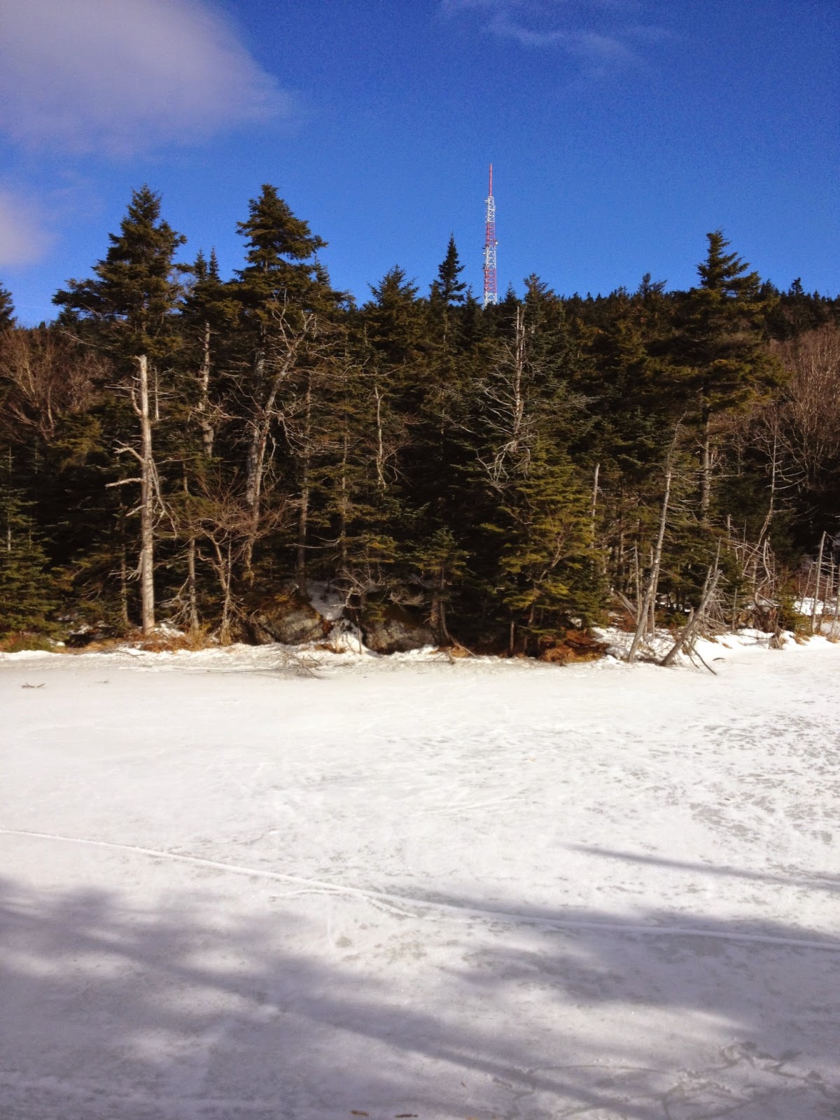
The day started out as planned.  We left just after the sun was up and arrived at the trailhead about 8:30am.  Today there were four in our group.  We planned to hike up to Brace Mt. from the southern trailhead of the South Taconic Trail.  It had snowed the day before and there was about 3" of fresh snow on the trail covering ice.  We had our spikes and started out making first tracks.  The going was fairly flat for a while then the trail goes up very steeply.  This is where we started to rethink our plans.  The trail is very steep and rugged at this point and covered in thick ice.  We made it a little over half way up before we decided that it would be best to turn around.  It may have been possible to make it all the way to the top but it would have been very difficult to go back down that way.  We chose to play it safe and go back.

Snow covered ice on a steep slope
This was not the end though.  We were not going to give up on hiking today.  We drove around to the other side and climbed up the Frissell Mt trail from Mount Washington Rd. on the MA/CT line. Attacking these mountains from the east proved to be a much better plan.  There was still some ice covered spots and steeper climbs that were tricky but it was much easier today to approach from this direction.  The trail leaves the road and winds through some hardwood forest and Mountain Laurel and is fairly flat for a little while.  It then climbs up Round Mt which offers nice views all around.


Looking toward Bear Mt.
After we reached the summit of Round Mt. (2296ft) the trail goes down a little before climbing Mt Frissell (2454ft). There is a register at the summit.  After signing the register we made our way down the south slope to the highest point in Connecticut.  There was a register there as well which we signed then moved on. Descending Mt. Frissell is not to steep and the trail again runs through laurel and hardwoods.


The trail passed by the tri-state marker after levelling out from Mt Frissell.  About .5 miles later the trail intersects with the South Taconic Trail.  Turning south it is then .4 miles to the summit of Brace Mt., (2311ft) the highest point in Dutchess County, NY.  Brace Mt. offers great views to the west with the Catskills in the distance.  


After a quick lunch on Brace Mt. we hiked back the way we came.  The weather was beautiful, with sunny skies and temps in the 30's.  The challenge of hiking in winter on snow covered trail was nice. The lesson of knowing when to turn back was also valuable for all of us.  It was a good hike and a great way to spend a winter day.

Thursday, January 1, 2015

Starting 2015 at 3491ft

I was up and out of the house just as the sun came up this morning for a hike up Mt. Greylock in Massachusetts.  Arriving at the Cheshire Harbor trailhead at 8:30am it was bright and sunny with temperatures in the upper teens and low 20's.  The trail climbs steadily up but in a fairly gradual way. There were no real steep sections at all today.  The challenge in hiking today was the ice and snow on the trail that grew more abundant the farther up you went.
Starting to see ice

Typical higher in elevation

Snow
From about the 2800ft range and up there was around 12" of snow and thick ice covering the trail. It was the perfect time to try out the microspikes.  They performed great.  I did not slip at any time climbing or on the way down.  I took the AT north where Cheshire Harbor trail leaves off and made it to the summit in short order.  It is about 3.5 miles one way to reach the summit taking this route.  As I approached the summit I finally caught sight of the beacon and knew I was close.  


Getting close
It was pretty windy and cold at the summit.  The wind was blowing somewhere between 20-25mph and the wind chills must have been in the single digits, because it was cold.  I took in the views to the east and a few pictures and then sought shelter on the south side of Bascom Lodge.  I had a light snack and sat in the sun out of the wind for a little while, but soon I was cold again and needed to get moving.  


The trip back down was uneventful.  I met a few hikers on their way up, but was surprised there were not more people out today.  I was back at the car about 1:00pm having covered about 7 miles.  It was a nice way to start the year and I would like to hike this trail when the leaves are out.