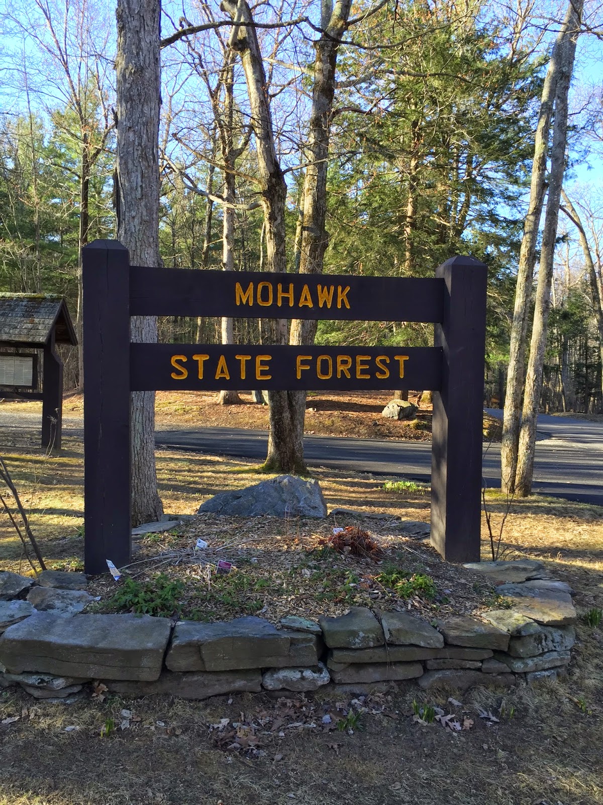
I arrived at the trailhead on Rte 4 just after 7 am. It was bright sunshine with temps hovering around 30*. Hiker parking is at the entrance to Mohawk State Forest, with room for 6-8 cars.

I would be hiking the last 15 miles of trail ending at Housatonic Valley Reg. High School. From Rte 4 the trail climbs through hardwood and Mountain Laurel to the top of Red Mountain, elevation 1652'.


There is a nice lookout from Red Mountain with views North and East. I stopped to take in the view and take off a layer. I would be adding layers and taking them off often throughout the morning as the hike went on. The cool temps and ups and downs of the trail made it difficult to regulate my body temperature.
 |
| Red Mtn |
 |
| Red Mtn |
The trail descends steadily down to Johnson Rd. where you must road walk to Rte. 43. Johnson Rd has some beautiful old homes along it. The light was great and I took a few pics looking out over the fields. Once you cross Rte 43, it is a steep climb along an abandoned road to a ridge. The climb tops out around 1428'. This was one of the climbs I remember from last time and it was still tough. Once at the top it is fairly flat going along the ridge with some views into the valley through the trees. With no leaves out yet it was easy to see out. I was able to see the ski slopes of Mohawk Mountain ski area from here. This is a nice part of the trail that works it way around old stonewalls. This year there was a logging operation going on and the trail got a little obscured with fallen tree tops. The blazes are still there but I had to pay close attention to where I was going otherwise it would be easy to get off trail. Once through the logged area it was easy going again.
 |
| View along Johnson Rd. |
 |
| Ridge above Rte. 43 |

This section of trail was part of the Appalachian Trail until 1986 when they rerouted the AT along the western side of the Housatonic River. The marker was the first of two I came across.
The trail continues along with some minor ups and downs. Working its way around more stonewalls, over small streams and spring runoff. There are some wet areas along the way but I was able to rock hop over most of them and keep my feet dry. I ate lunch next to a beaver pond. I did not see any beaver but they have been pretty busy in the area. Then it was more hardwood forest, stonewalls and old cellar holes, and streams and ponds.
 |
| Lunch spot |


I reached the Wickwire leanto at 12:20 pm and stopped to rest for a while. The trail has been rerouted in this area. It no longer follows along Wickwire Rd. and takes you through the forest and along past a pond and stonewalls before you reach the leanto. Two years ago this was just being developed and was confusing as to where the trail was. Now it is well marked and easy to stay on the trail. The leanto is in good shape and clean. It was built in 1988 by the CT chapter of the AMC. It is a good place to stay. Being that it was only 12:30 and I was permitted to stay at the Music Mountain Rd. campsite in Deans Ravine I pushed on. The trail is new leaving the leanto as well, and this section was not there last time. It eliminates the road walk along Wickwire Rd. and takes you over some nice ridges for about a mile where it rejoins the old trail.


 |
| Reeds Brook just before going into Deans Ravine |
The trail descends into Deans Ravine and follows along the brook before coming back out onto a paved road. I came to a fire ring in the middle of the trail where someone had left a couple of camp chairs. I don't know if this was supposed to be the campsite I was to stay at, but I was not going to camp there. It was very close to a paved road, and was in the middle of the trail. There were no tents sites, let alone a place to hang my hammock. It was also still very early in the day, so I made the decision to continue on. There is another short road walk before the trail climbs steeply up into the forest again. My plan at this point was to start looking for a suitable stealth site. Once the trail tops out it was a side slope through a rock garden. No spots here. I continued on.


 |
| Trail through a rock garden |
It was about this time, as I looked at my watch and saw it was still just a little after 2pm and that I was very close to Barrack Mtn., that I figured I would just press on over the top and finish the hike in one day. It was only about a mile to go to the high school and being still early in the day I couldn't see stopping so close to the end. I had cell service and sent my wife a text to see if she could pick me up. She agreed to come get me so I pushed on. Climbing up and over Barrack Mtn. is hard. It is steep! There are some spots where you use both hands and feet to get up along the trail and it is narrow in spots with long drops over the edge. I took my time and made it up with out any mishaps but it is tough. Another spot that was as hard as I remembered. Once at the top there is an amazing view. Almost makes it worth hearing your heartbeat in your ears.
 |
| Climb up Barrack Mtn. |
 |
| Climbing Barrack Mtn. |
 |
| View from the top |
Barrack Mtn. has an elevation of 1230' and the lookout is at 1200'. From there the trail then descends steeply down toward Rte 7. It is knee torture on the way down, but it is fairly short and then levels out once you reach the road. You are then in the Housatonic River valley. Crossing Rte 7 the trail works its way through a short stretch of woods and over some train tracks before meeting up with the Appalachian Trail.
As I waited for my ride, I reflected on what a beautiful day it was and how enjoyable the hike was. I was a little disappointed I didn't find a place to camp but I had been feeling so good I didn't want to stop hiking so early. I had hiked 15 miles, finishing up just after 4pm. The trail is much as I remember it, I didn't expect to hike it all in one day though. I also like the idea of hiking a section of the original Appalachian Trail.

No comments:
Post a Comment