It was a beautiful spring day for a hike and we took advantage of it. The girls and I decided to hike another section of the Mattatuck Trail in Cornwall and Warren. This is the last section of trail on the Northern section of the Mattatuck Trail from Flat Rocks Rd. to Valley Rd. We parked one car at the Valley Rd. trailhead and drove up to Flat Rocks Rd. We began hiking just before 10 am in cool temps and a nice breeze.
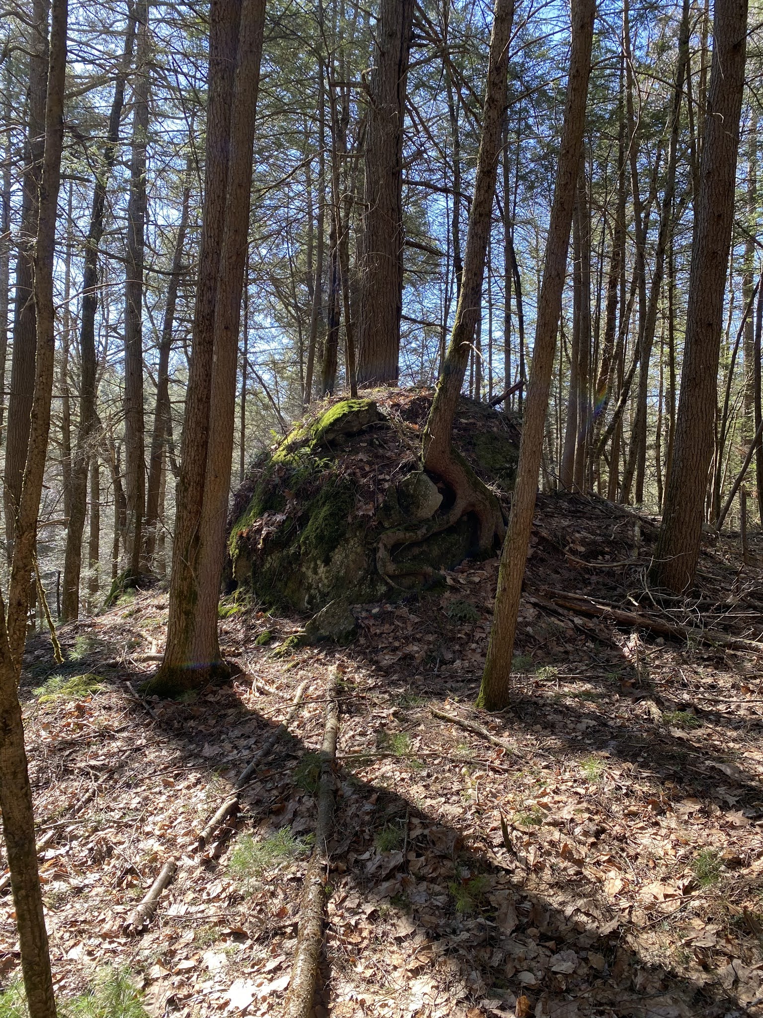
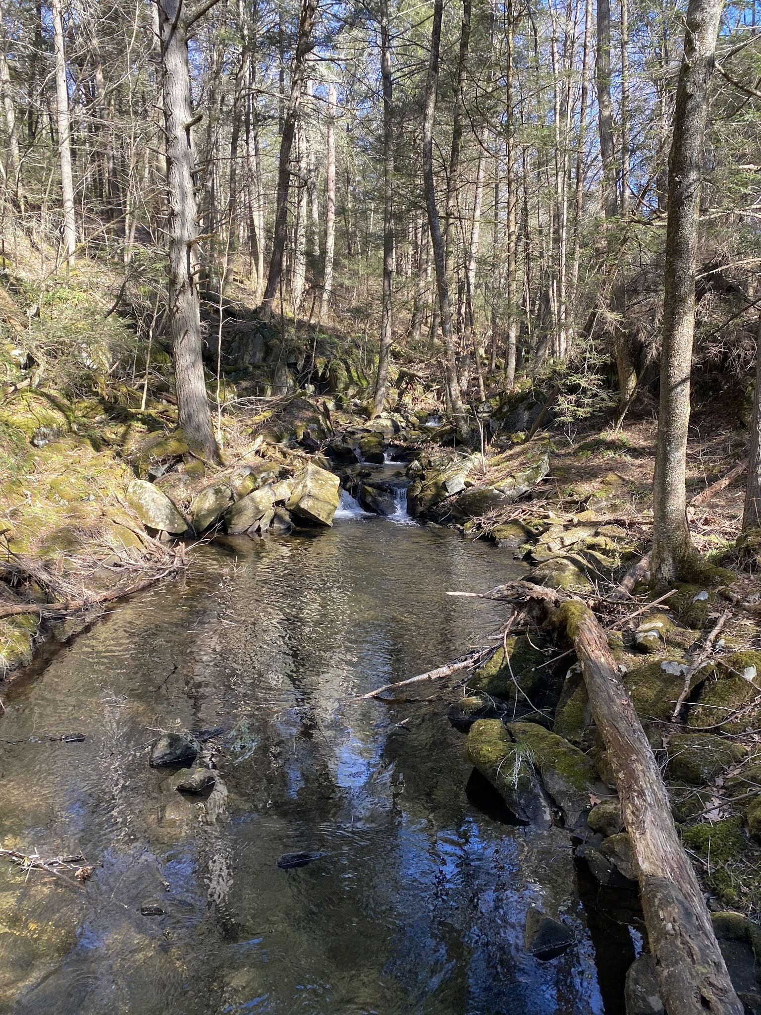
The trail wanders through a mixed forest of hardwoods and Hemlocks following along the West Branch of the Shepaug River. It then climbs up along the side of the valley. If there was a theme to this section of trail I think it would be rocks! It was very rocky and it slowed us down a little climbing over them and hopping from rock to rock. The trail does eventually follow some old woods roads, possibly made by the CCC’s in the 1930’s, with a few scattered views of the Upper Shepaug Reservoir before heading back into the woods.


There are many signs for Water Company land and the trail seems to stay close to the property lines for the most part. It does dip into the Water Company property here and there at times, but stays mostly on State of CT land. There are numerous streams to be crossed and the trail goes around a swampy beaver pond. Then through more hardwood forest with some stone walls here and there. At about the half way point we crossed Hardscrabble Rd. and climbed a little more. The trail never gets close to the reservoirs, I guess they don’t want people to be too close to the public water supply. More hardwood forest and back to a very rocky section before a downhill push to the car.

It was a nice walk through the woods, but lacked any true views or other interesting features. I thought at times the trail twisted and turned for no reason either. Were they just trying to make miles? We enjoyed a nice lunch break under some large Pines on the soft needles of the forest floor. All in all it was a fun hike on a beautiful day with family. We hiked just about 8 miles for the day.