Wednesday, April 14, 2021
South Taconic section hike
We could clearly see the Catskills in the distance. Now that we were on the ridge we made good time and were soon at the summit of Alander Mt. We took another break and enjoyed the view before making our way back and taking the Alander Mt. trail back to the State park headquaters and the car. The Alander Mt. cabin is still standing, although it is a little rougher than the last time I was there. The floor is getting pretty spongy. Mac enjoyed checking out all the notes and trinkets left by other hikers. The trail back hasn't changed much from my last trip. We passed the primitive camping areas and were soon back at the car. We were both tired, the initial climb having taken a lot out of us, but I enjoyed the hike and love that area. We will be back.
Wednesday, April 7, 2021
Mattatuck Trail (Northern Section)
The trail wanders through a mixed forest of hardwoods and Hemlocks following along the West Branch of the Shepaug River. It then climbs up along the side of the valley. If there was a theme to this section of trail I think it would be rocks! It was very rocky and it slowed us down a little climbing over them and hopping from rock to rock. The trail does eventually follow some old woods roads, possibly made by the CCC’s in the 1930’s, with a few scattered views of the Upper Shepaug Reservoir before heading back into the woods.
There are many signs for Water Company land and the trail seems to stay close to the property lines for the most part. It does dip into the Water Company property here and there at times, but stays mostly on State of CT land. There are numerous streams to be crossed and the trail goes around a swampy beaver pond. Then through more hardwood forest with some stone walls here and there. At about the half way point we crossed Hardscrabble Rd. and climbed a little more. The trail never gets close to the reservoirs, I guess they don’t want people to be too close to the public water supply. More hardwood forest and back to a very rocky section before a downhill push to the car.
It was a nice walk through the woods, but lacked any true views or other interesting features. I thought at times the trail twisted and turned for no reason either. Were they just trying to make miles? We enjoyed a nice lunch break under some large Pines on the soft needles of the forest floor. All in all it was a fun hike on a beautiful day with family. We hiked just about 8 miles for the day.
Wednesday, March 24, 2021
Rand's View
I made it back to the AT yesterday and hiked a short out and back from the steel bridge in Falls Village to Rand’s View. It was a beautiful day with blue bird sky’s and temps reaching the low 70’s. I was joined on this hike by Mackenzie and Kate, who have not hiked this section before. We started mid-morning and made our way past the Great Falls and up into the forest.
The trees were open and mostly hardwoods. After climbing the ridge we made it to the top of Prospect Mtn. at about 1451ft. There is a nice view here and we sat and had some snacks. Once refueled we continued on, the trail has a gradual descent here and it was easy to get a good pace.
Soon we came to the junction with the side trail to the Limestone Shelter and quickly to Rand’s View. The girls have not seen this spectacular view before and I enjoyed their reaction. It is a very cool spot! After enjoying the view for a bit we turned around and made our way back.
We stopped again at the top for a brief rest and then began the descent back toward the Housatonic River and the car. It was about 6.3 miles out and back.
Wednesday, March 17, 2021
Snowy day on the Jericho Trail
There was a fresh coating of snow this morning that was pretty as we walked through the woods but made the going slow as it was slippery in spots. We bare booted all day but had our spikes just in case. Today was a new trail, the Jericho Trail, in Watertown and Thomaston. It is a 3.4 mile trek which then connects with the Mattatuck Trail, we finished in the parking area of Black Rock State Park.
From the trail head we climbed up the ridge and had some views of Route 8 and the area around Waterbury. We soon crossed under the large power lines, which have construction going on and we needed to watch out for heavy machinery, and entered back into the woods. It is a nice walk through a Hemlock and hardwood forest. It was cloudy all day and the woods were dark in places. We soon came to a steep descent, crossed a brook and a steep up along some cliffs. We could hear the cars on the highway speeding by which was the only indication we were not out in some wilderness.
After a few more ups and downs with some very cool rock formations and drop offs we came to Jericho Brook and some evidence of humanity, stonewalls, a rock and earth dam, and an old roadway. The trail continues on through hardwood forest, mostly Oak, which was nice. It must be a nice area on a warm summer day with the sun shining through the leaves.
The terrain changed a little as we went along, still rocky outcrops but different, more open. Soon we came to the end of the Jericho Trail and upon the Leatherman Cave. This is a cool rock formation that offers some protection from the elements and is rumored to be one of the caves that the famous Leatherman used when on his route around New York and Connecticut.
We explored the cave a little then went up above the cave and enjoyed the view North and East of Thomaston and the surrounding hills. From here the trail descended into a valley. It was a little icy and we were careful as we went along. The trail then climbs back to the top of a ridge and stays there for a ways. There are some views as you go along and some long drops off the edge down to the forest below. Soon we could hear traffic to our West and knew we must be getting close to the end. It was a steep descent to the road, but we made it down with no falls. Crossing Route 6 we made the final push to the car.
It was a surprising trail, and I enjoyed all the changes in terrain and vegetation. We hiked somewhere around 5 miles, our phones couldn’t agree on the mileage, and enjoyed a new area. I think we will continue along the Mattatuck Trail in the future.
Thursday, February 18, 2021
Metacomet Trail and a loop through Penwood
It was cold but sunny yesterday and I decided it was a good day for a winter hike. I decided to hike a section of the Metacomet trail in Penwood State Park. After checking out the trail map for the park I was able to make a nice loop, following first the orange trail and then the yellow trail. I hiked back to my truck on the Blue-blazed Metacomet Trail.
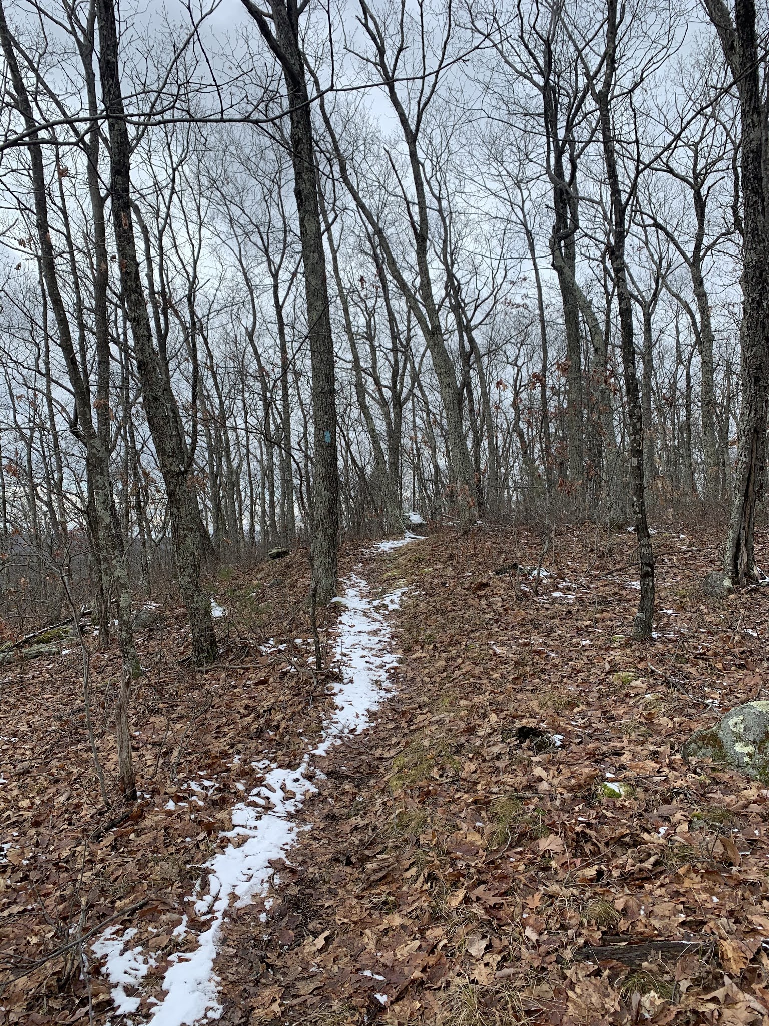
The orange trailhead is on Wintonbury Rd. in Simsbury and climbs to the midpoint of the ridge. Once there is stays fairly level the entire way along, with views to the west over the Farmington River valley and the town of Simsbury. The snow was hard and well packed, so I left the snowshoes in the truck and just used the microspikes. The Kahtoola's stayed on all day. The orange trail ends, and I decided to hike the yellow trial, which follows along the midline of the ridge as well. There were some more nice views to the west.
Both trails have gentle ups and downs and are fairly easy hiking. The blazes are sporadic at times and it was a little hard to make sure I stayed on trail. There are many spots where hikers have made side trails that were well packed and looked like a trail. There were also spots where the road comes close to the trail and people have made side trials. I was looking for a connector trail that would take me over the ridge to the Metacomet trail, but I never saw the blaze or a trail in the snow, and soon ended up at the end of the yellow trail at the parking lot for the park.
A little longer hike than I had thought it would be but a good one all the same. From the parking lot it was easy to pick up the Metacomet trail and the blazes are much better and easy to follow.
The trail climbs quickly to the top of the ridge this time and at times there are views to the east, although through the trees. I came upon three deer trying to find lunch for themselves in the snow and we stared at each other for a few minutes before I moved on and left them to their business.
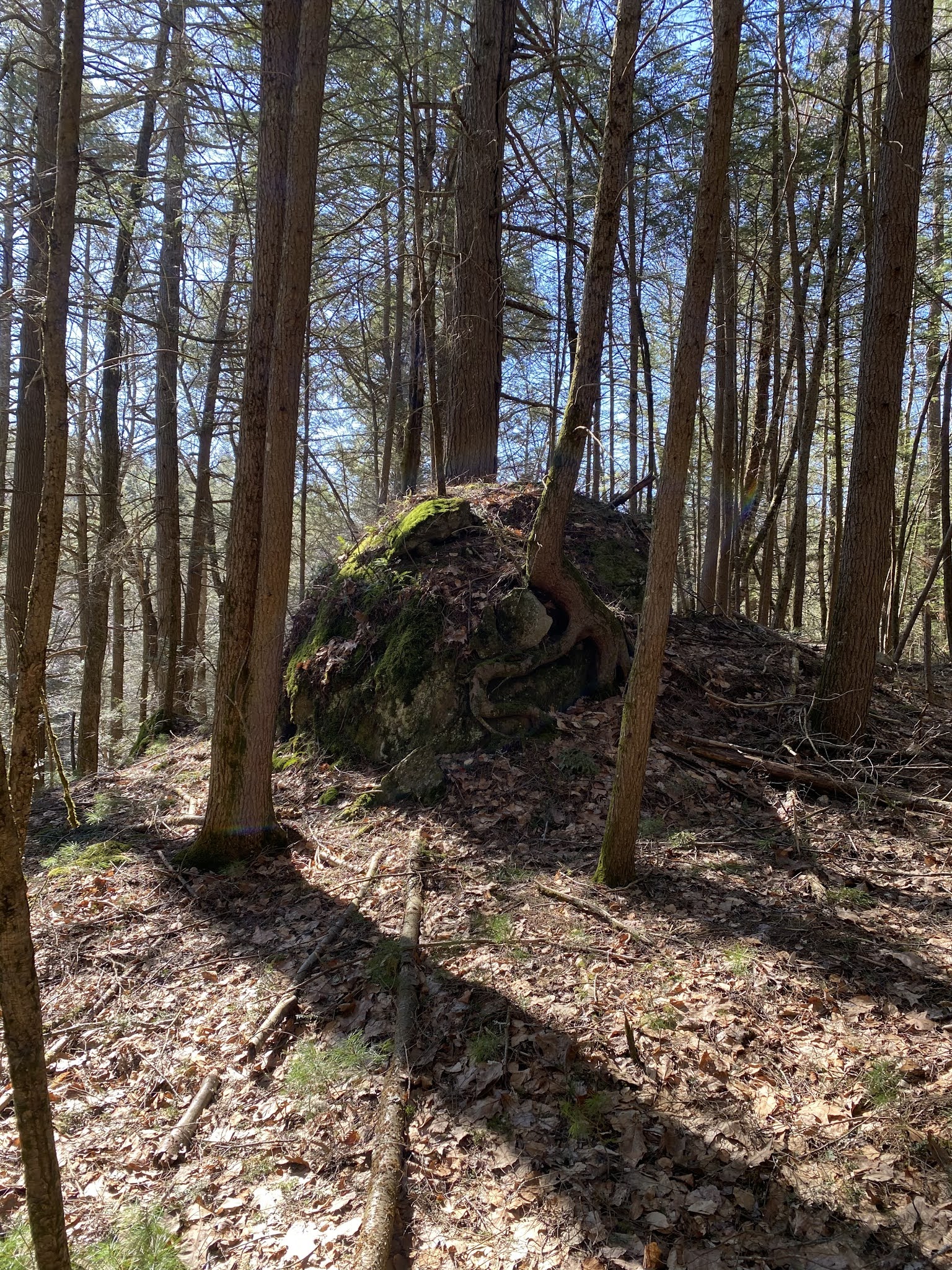
Along this section I came upon a few man-made constructions, a pillar of stone with a metal railing around it, and some other in ground structures. I have no idea what they were used for, but it was interesting to see.
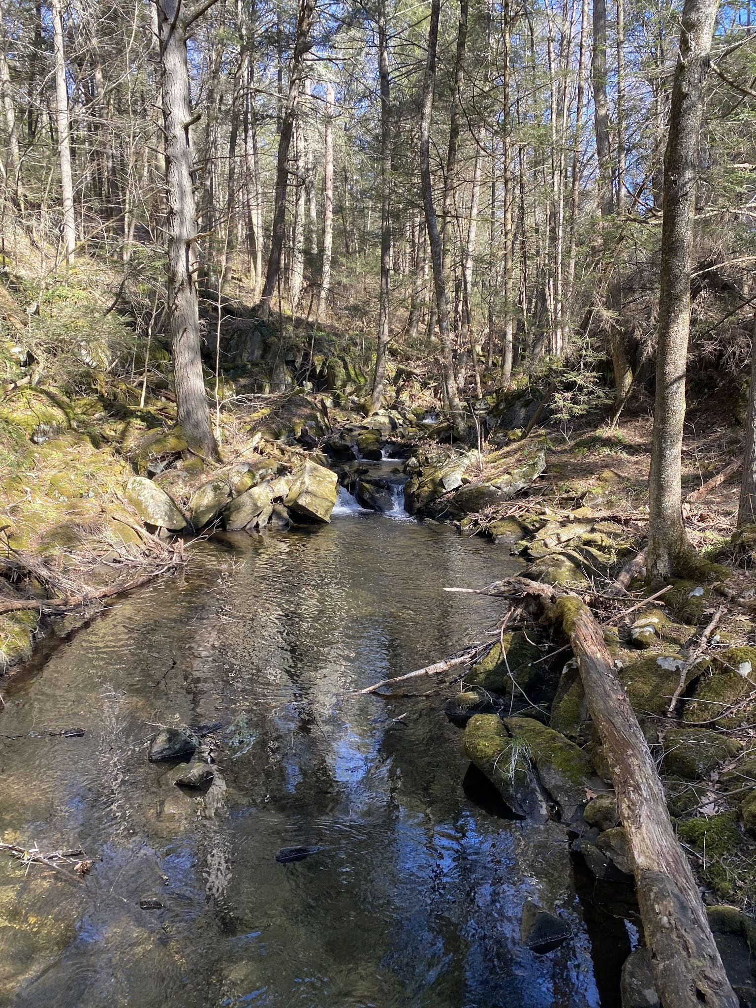
Along the lake, I found a group of newts all bundled together with a few by themselves under the ice. They were moving around under the ice; I hope they know winter isn’t over yet.
From Lake Louise the trial climbs to the Pinnacle, a rocky outcrop with nice views to the west. This is the tallest point in the park, and I stopped and took some pictures and relaxed in the sun for a bit. You can spot Heublein Tower from here as well. The cement footing of a fire tower are just off the peak as well. The trail continues along the top of the ridge before it descends back to Wintonbuy Rd.
It was a fun hike, the sun was shining, temps were in the high 20’s, and I was alone in the woods. I hiked round trip 6 miles and was back to my truck before 2pm. Another section of the Metacomet trail down, I will keep picking away a section at a time.
Tuesday, January 19, 2021
Mattatuck Trail section hike
The trail meanders around Wadhams rd. and Mohawk Pond, where we again stopped and had a brief snack. A short road walk then back into the forest, through Mountain Laurel thickets and old farm fields. There is a good variety of terrain along this section, we went over rocks, streams and roots. There are areas that were fields probably less than 50 years ago, young forests of Birch and Cherry trees taking over surrounded by stone walls.
We were then at the car and ready to call it a day. It was a fun hike with some interesting scenery. We hiked a little over 7 miles. I will get back there and finish up this Northern section soon.