


The trail descends slightly between Round Mt. and Mt Frissell then climbs to the summit with a few steep tricky spots along the way. The climbs are fairly short and we had no trouble today but the trail could be a challenge if there is ice or snow. Once we reached the summit of Mt. Frissell, at 2454ft., we signed the register and made our way to the CT high point of the south side of the mountain. We stopped here and had a snack and enjoyed the warm sunshine before making our way back to the car.

 |
| CT/MA state line |
 |
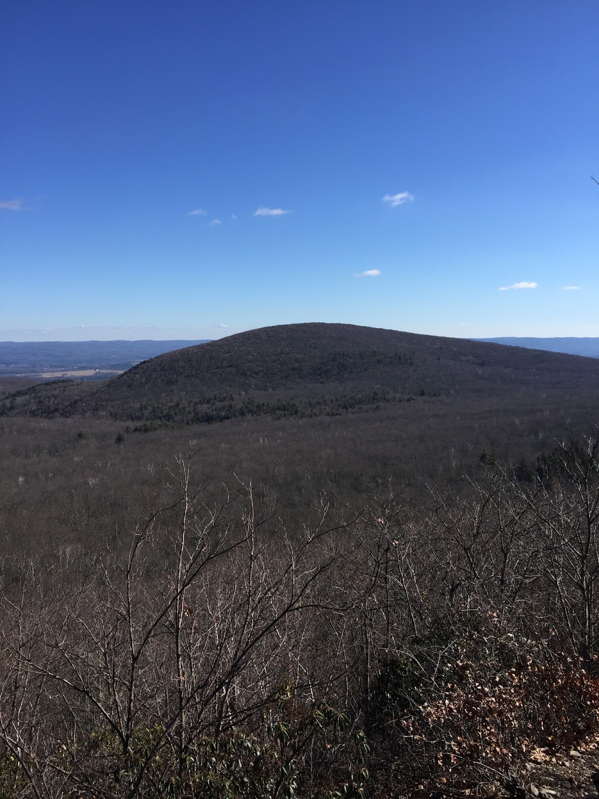
| Mt Greylock in the distance |

The return trip was over quickly although we did stop a few times along the way to enjoy the views again. The trailhead for the Mt. Frissell trail is located on East St., Mount Washington, MA. It is well marked and easy to find. There are many trails in this area and hikers have a lot of options to create longer hikes. The Appalachian Trail and the South Taconic Trail can easily be reached from here. I will continue to explore this wonderful area, there is always something to see.
Total miles: 3
No comments:
Post a Comment