Thursday, April 28, 2016

Bear Mountain Loop

The Undermountain trail, Paradise Lane trail, and the Appalachian Trail form a nice loop that takes you up and over Bear Mountain.  It is a steady climb on the Undermountain trail from the parking lot on Route 41 to the junction with the Paradise Lane trail.  I was starting to sweat when the sign for the turn off appeared and showed me the way to the camping area.  The Paradise Lane trail goes past and climbs a little more before levelling out and a very enjoyable hike toward Sages Ravine and the climb up Bear Mtn.


Hardwood forest and Mountain Laurel surround the trail as it makes its way toward Bear Mountain. The summit comes into view before to long and you can see your objective.  


At the intersection with the AT I took the left turn and began the climb up the North side of Bear Mtn. It is a steep climb but it went quickly and I was soon sitting at the summit.  I had it all to myself and really enjoyed the beautiful day and terrific view.  I munched on some snacks and drank my fill of water and just relaxed before making my way down the South side and reconnecting with the Undermountain trail.
Mt Everett and Mt Race to the North


North to Everett and Race

East to the Twin Lakes


As I made my way down I enjoyed more views to the South looking toward Salisbury and beyond. There are plenty of spots along the way to stop and take a few pictures.


In no time I was back on the Undermountain trail and making good time back to the car.  The total for this fun loop was 6 miles and took about 3 hours.  There are also many options along this stretch, whether you want to just keep it as a day hike or add a night or two on the AT it would be easy to plan for a backpacking trip.  It is also a good access point to jump on to the AT for longer trips, heading North or South.

Saturday, April 23, 2016

Tunxis Trail Section Hike

I hiked a nice seven mile section of the Tunxis Trail through Barkhamsted and New Hartford the other day, starting at the Indian Council Caves and making my way South.  While this is not the first time hiking this trail or section, I enjoyed the different season and the views of the reservoir below. The weather was cool, cloudy and breezy when I started out on this Connecticut Blue Blazed trail. The Indian Council Caves, a jumble of large boulders and ledge with tales of Native Americans using them in the past, is a steep climb with forest views once at the top.


Once past this it is a nice trail through hardwood forest, passing old stonewalls, cellar holes and small streams. There are a few road crossings before reaching the ridge above the reservoir.

I made good time and had fun.  It was a short trip on an afternoon off.  I spotted and spooked some deer that ran away as I approached and I also spotted this little guy on the trail.  
Garter Snake
After snapping a picture of this little Garter Snake we both kept going on our way.  This is a popular trail that is fairly easy hiking.  It is well worth checking out.

Tuesday, April 12, 2016

Three State Forests - One Hike

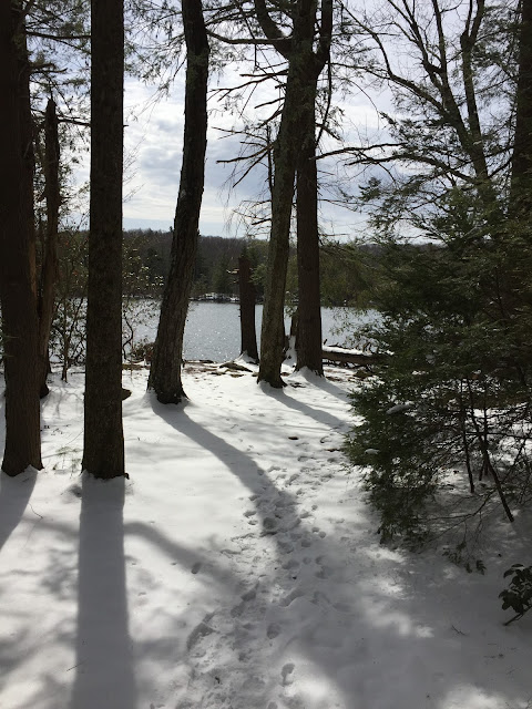
I spent some time hiking in some of the Connecticut State Forests this past weekend.  Northwest Connecticut had just gotten a few inches of snow in a spring snowstorm, but the day I hiked was sunny and fairly warm.  I parked at the Burr Pond State Park boat launch and began my hike around the pond.  The trail follows the edge of the pond closely and I had some nice views of the water and shoreline.


It is a little under a mile to reach the far side of the pond, where I turned off the pond trail and made my way to the John Muir Trail which led me through the Paugnut State Forest.  The trail works it's way around some beaver ponds and through hardwood forest before climbing up Walnut Mountain. Walnut Mountain is the highest point in the town of Torrington, with an elevation of 1325ft.  To reach the true summit, there is a spur trail, which I decided not to take this day.  Instead, I stayed on the blue-blazed John Muir trail and walked around the summit.  


There had been a brush fire recently on the side of Walnut Mountain and the charred ground stood out clearly as I followed along the trail. The trail begins to descend steadily and I began to see more foot prints in the snow.  In no time I was at the end, reaching the Newfield Rd. and Sunny Brook State Park.  I enjoyed a snack and some water before beginning the return trip to the car.  I hiked a nice 6 miles out and back, made it through three State Forests/Parks and enjoyed some quiet time in the woods.